

Land Surveys on the
Isles of Scilly
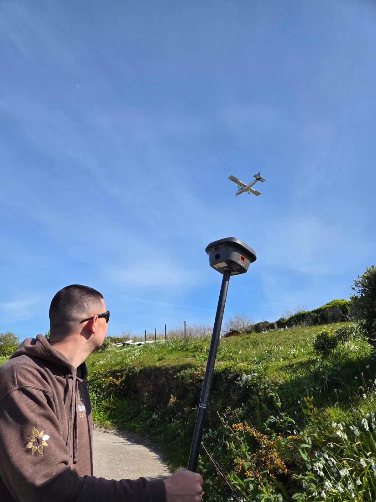
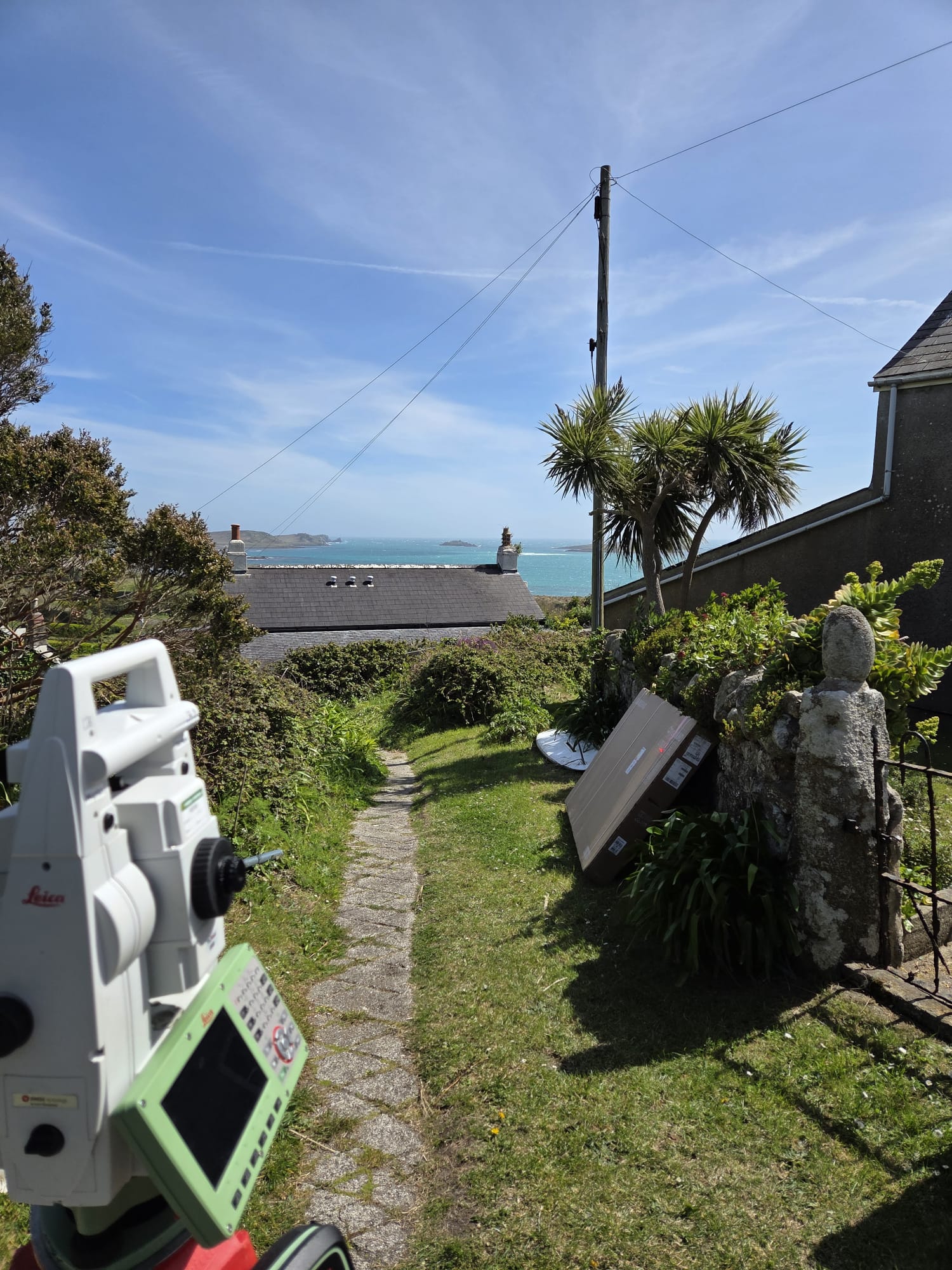
Nuplan Surveys Ltd provides professional land surveying services across the Isles of Scilly, with experience working on projects throughout the islands.
Nuplan Surveys Ltd provides professional land surveying services across the Isles of Scilly, with experience working on projects throughout the islands.
Nuplan Surveys Ltd provides professional land surveying services across the Isles of Scilly, with experience working on projects throughout the islands.


Why Us?
Why Us?
Professional surveying backed by real experience on the islands.
Professional surveying backed by real experience on the islands.
Professional surveying backed by real experience on the islands.
Having carried out multiple jobs on Scilly, we understand the travel, logistics and local coordination involved in getting projects completed efficiently and reliably. From arranging transport between the islands to working around weather, access and tight timeframes, we know the importance of careful planning to keep projects running smoothly from start to finish.
Having carried out multiple jobs on Scilly, we understand the travel, logistics and local coordination involved in getting projects completed efficiently and reliably. From arranging transport between the islands to working around weather, access and tight timeframes, we know the importance of careful planning to keep projects running smoothly from start to finish.


TESTIMONIALS
Client Stories
Client Stories
Excellent Service, would definitely recommend. Very prompt, on time, Jamie was helpful and easy to discuss our project with.
Emma Stanton
Owner
We have used NuPlan surveys several times for our topographical requirements, always with good results. Jamie is helpful, quick to respond, and good to work with.
Amanda Forman
Founder
We've worked with Nuplan several times and always had professional, personable, prompt responses.
Tirwel Landscape Consultancy
Owner
Excellent Service, would definitely recommend. Very prompt, on time, Jamie was helpful and easy to discuss our project with.
Emma Stanton
Managing Director
We have used NuPlan surveys several times for our topographical requirements, always with good results. Jamie is helpful, quick to respond, and good to work with.
Amanda Forman
Managing Director
We've worked with Nuplan several times and always had professional, personable, prompt responses.
Tirwel Landscape Consultancy
Managing Director

We will work with you to achieve the right result
In an open, attentive & professional manner, combining our knowledge, experience and specialisms to deliver the best results for you.
We will work with you to achieve the right result
In an open, attentive & professional manner, combining our knowledge, experience and specialisms to deliver the best results for you.
We will work with you to achieve the right result
In an open, attentive & professional manner, combining our knowledge, experience and specialisms to deliver the best results for you.
We will work with you to achieve the right result
In an open, attentive & professional manner, combining our knowledge, experience and specialisms to deliver the best results for you.
FAQS
Still Have A Question?
Still Have A Question?
01
What is a topographical land survey?
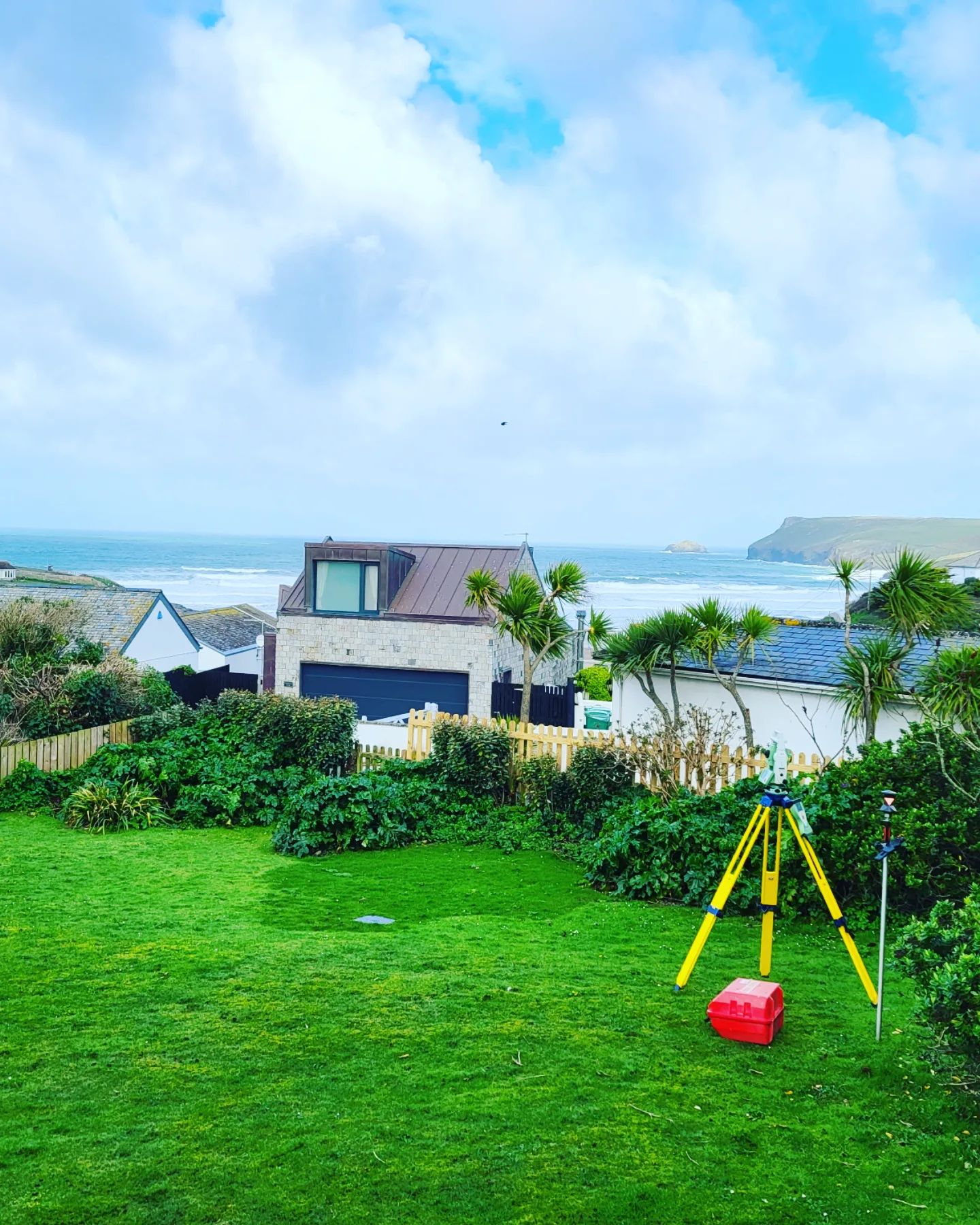
A topographical survey or land survey is an accurate representation of the area of interest showing all natural and man-made features with associated levels. Represented as three dimensional points, all features including the property, land features and physical boundary details are presented on a scaled survey drawing.
02
What survey technology do you use?
03
What format will be used to supply our survey data?
04
What are the benefits of undertaking a topographical survey?
05
What detail do you include in measured building surveys?
01
What is a topographical land survey?
A topographical survey or land survey is an accurate representation of the area of interest showing all natural and man-made features with associated levels. Represented as three dimensional points, all features including the property, land features and physical boundary details are presented on a scaled survey drawing.
02
What survey technology do you use?
03
What format will be used to supply our survey data?
04
What are the benefits of undertaking a topographical survey?
05
What detail do you include in measured building surveys?

Based in Cornwall and offering a wide range of services to accommodate almost any need.
2 Church Street, Tywardreath, Par,
Cornwall. PL24 2QG
Based in Cornwall and offering a wide range of services to accommodate almost any need.
2 Church Street, Tywardreath, Par,
Cornwall. PL24 2QG
Based in Cornwall and offering a wide range of services to accommodate almost any need.
2 Church Street, Tywardreath, Par,
Cornwall. PL24 2QG
Based in Cornwall and offering a wide range of services to accommodate almost any need.
2 Church Street, Tywardreath, Par,
Cornwall. PL24 2QG